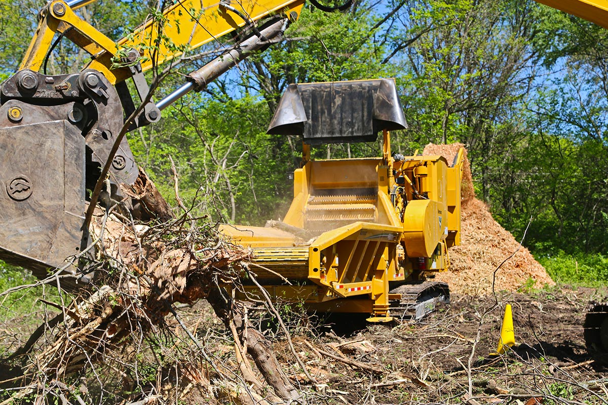
Any excavation, irrespective of size, has the potential to damage assets located around the work site. This damage can lead to service interruptions, delays to the project, costly repairs and in the worst-case scenario, injury or death. By using a non-destructive digging solution, such as a Vermeer vacuum excavator, contractors can greatly reduce these risks and ensure the safety of their workers and the community, while also minimising the possibility of damage to existing utility infrastructure.
It is important to not only receive the utility plans and/or mud maps of the site from Dial Before You Dig (DBYD), but also validate the location of those utilities if they are in the area of prospective works.
By not successfully locating utilities, contractors could be at risk of:
- Injuries or fatalities to workers and/or the general public
- Loss of company reputation
- Financial outlay (direct repair costs, plant and labour downtime costs, project delay costs, investigation costs, property damage costs, third-party disruption costs, insurance costs, fines)
PRE-EXCAVATION POTHOLING A NECESSARY STEP
Any plans and information provided by DBYD Certified Locators following a location should indicate ‘Quality Levels’ as defined in AS5488. There are four accuracy levels ranging from ‘D’, the lowest, to ‘A’, the highest and most accurate. The default Quality Level for subsurface information is ‘D’.
To avoid damaging buried assets when excavating, the subsurface information relating to the location must be to Quality Level ‘A’. Potholing must be carried out prior to excavation to validate the position of existing utilities and meet Quality Level A accuracy.
OVERVIEW OF QUALITY LEVELS AS DEFINED IN AS5488
Quality Level D – information is generally obtained from existing records provided by utilities as a result of a DBYD enquiry being lodged. In many cases the asset depicted on the plan is in a schematic format only and intended only to indicate its presence.
Quality Level C – described as a surface feature correlation or an interpretation of the approximate location and attributes of a subsurface utility asset using a combination of existing records and site survey of visible evidence – for example you can see the pit lids shown on the plan, but the actual position of underground connection between pits is still assumed.
Quality Level B – provides relative subsurface feature locations in three dimensions. The minimum requirement for QL-B is relative spatial position, this can be achieved via an electromagnetic frequency locating device. An electronic location provided by a DBYD Certified Locator to QL-B standard would have a maximum horizontal tolerance of plus or minus 300mm and a maximum vertical tolerance of plus or minus 500mm.
Quality Level A – consists of positive identification of the attribute and location of a subsurface utility at a point to an absolute spatial position in three dimensions. It is the only Quality Level that defines a subsurface utility as ‘validated’.
Potholing can also reduce the risk of mistakenly identifying an asset or position. Not everything may need to be potholed if a Quality Level B location show the assets outside of the danger zone and are therefore low risk (DBYD plans are quality level D, and an EMF location by a competent locator can achieve quality level B).
By locating any possible utilities in the planning stage and utilising the quality levels, contractors can then make more reliable decisions and reduce the risk of damaging utilities or injuring workers.
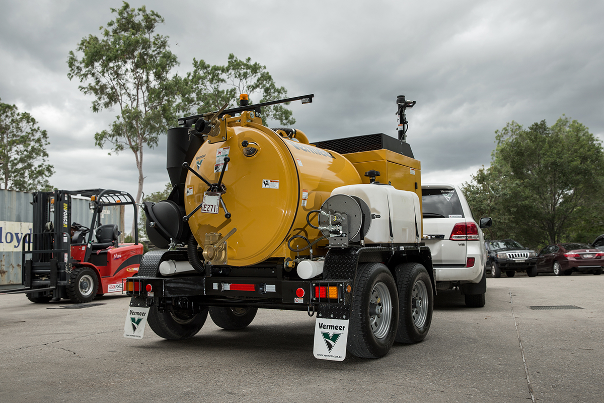
Since vacuum excavators use air or water that can be regulated to excavate at ‘non-destructive’ pressures, they are perfect for excavating to locate existing underground utilities, and this is one of their most common applications in preparation for utility installation. The relatively low-pressure water and air used in vacuum excavation are much less likely to damage existing utilities compared to a backhoe, compact excavator or shovel.
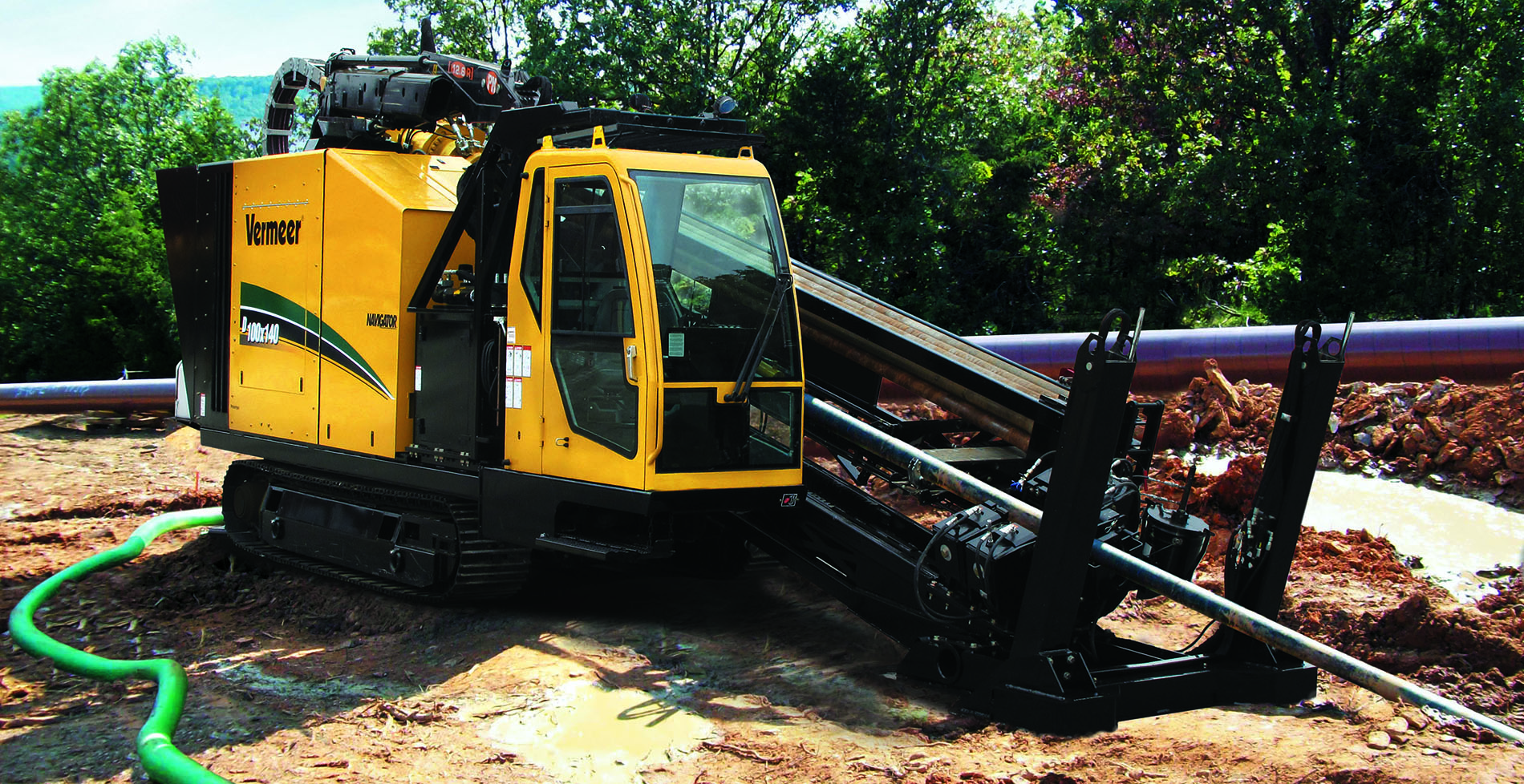
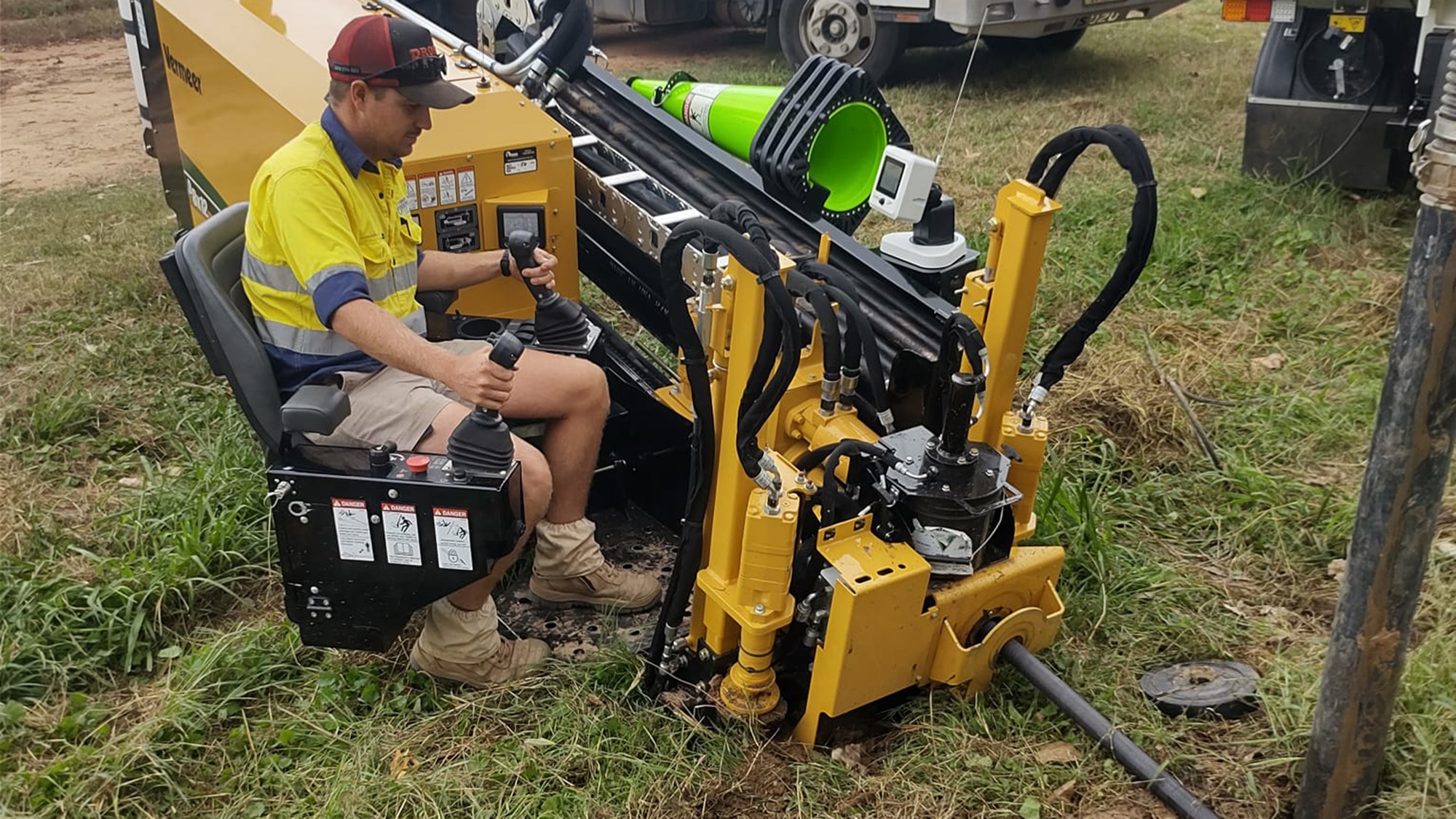
Horizontal Directional Drilling (HDD) contractors use vacuum excavators to pothole and reveal utilities, often in conjunction with cost-effective electronic location devices like the Vermeer G3 locator, for 100 per cent depth calculation of utilities before drilling.
The Vermeer trailer-mounted VX30-250 vacuum excavator is a popular choice for utility installation and potholing, offering Australian municipalities and contractors a lowcost, highly portable system for a range of non-destructive digging tasks.
DBYD’S RECOMMENDED SAFE EXCAVATION PRACTICES
1. Contact DBYD so you can utilise location/service plans/information that conforms to Australian Standard AS5488.
2. Ensure ground markings are clear and comply with AS5488.
3. Ensure you have permission to pothole from the asset owner.
4. Check safe work method statements (SWMS) to determine high-risk or exclusion zones, and any special permissions.
5. Engage with a certified locator.
6. Only use non-destructive digging methods such as water jetting/ hydro/vacuum excavation or hand tools by a competent and experienced operator. Backhoes and excavators should not be used for potholing. If using hand tools, do not use sharp pointed objects such as picks or crowbars.
7. Using a certified locator during potholing can minimise the amount of exploratory potholing and save costs.
8. Ensure water pressure, nozzle type, distance from asset and duration of contact all comply with asset owner specifications.
9. Always dig adjacent to the asset to expose it from the side, rather than digging down from the top Where possible, dig parallel to the asset line, rather than across it.
Contact your local Vermeer dealership for more information on Vermeer’s range of vacuum excavators and utility locators, and be sure to familiarise yourself with the elements of safe excavation at 1100.com.au.
Click here to read the full article in the Feb edition of Utility Magazine.